UN
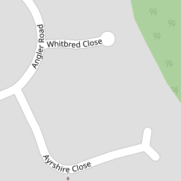
1 Ayrshire Close
£ 300,000
Description
We don't have a Description for this property.
- Bedrooms
- 3
- Bathrooms
- 0


Leaflet © OpenStreetMap contributors
The heatmap indicates the level of crime in the area. The color of the heatmap indicates the crime severity and recency.
Metrics Year-on-Year
- Average area value
- 298,863.00 £Increased by 13.11 %
- Average area rental value
- 946.00 £/moDecreased by 9.73 %
- Est rental Yield
- 3.80 %Decreased by 20.17 %
- Crime Rate
- 1.00 %Unchanged by 0.00 %
from 264,214.00 £
from 1,048.00 £/mo
from 4.76 %
from 1.00 %
Nearby Schools
| Name | Type | Ofsted | Distance |
|---|---|---|---|
| Shaw Ridge Primary School | Academy Converter | Good | 0.34 KM |
| Brook Field Primary School | Academy Converter | 0.70 KM | |
| Tregoze Primary School | Academy Converter | Good | 1.04 KM |
| Oliver Tomkins Church Of England Infant And Nursery School | Voluntary Aided School | Good | 1.06 KM |
| Oliver Tomkins Church Of England Junior School | Voluntary Aided School | Good | 1.06 KM |
Images
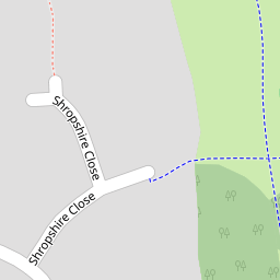
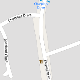
Nearby Streets
| Name | Average Price | Average Sqft | Distance |
|---|---|---|---|
| Holinshed Mews | £ 0 | 0 | 0.00 KM |
| Midwinter Close | £ 259,950 | 0 | 0.00 KM |
| Eriskay Place | £ 135,000 | 0 | 0.00 KM |
| Common Platt | £ 0 | 0 | 0.00 KM |
| Flint Hill | £ 0 | 0 | 0.00 KM |
Nearby Transport
| Name | NLC | TLC | Distance |
|---|---|---|---|
| Swindon (Wilts) | 3333 | SWI | 5.37 KM |
Nearby Listings
| Address | Price | Type | Score | Distance |
|---|---|---|---|---|
| Shropshire Close, Shaw, Swindon | £ 300,000 | BUY | 7 / 10 | 0.13 KM |
| Ramleaze Drive, Shaw, Swindon | £ 325,000 | BUY | 6 / 10 | 0.16 KM |
| Angus Close, Ramleaze, Swindon, SN5 5PT | £ 250,000 | BUY | 7 / 10 | 0.21 KM |
| The Bramptons, Shaw, SN5 | £ 875,000 | BUY | 7 / 10 | 0.23 KM |
| The Bramptons, Shaw, Swindon | £ 700,000 | BUY | 8 / 10 | 0.24 KM |
Nearby Properties
| Address | Price | Distance |
|---|---|---|
| 3 Ayrshire Close | £ 160,000 | 0.00 KM |
| 1 Ayrshire Close | £ 300,000 | 0.00 KM |
| 14 Ayrshire Close | £ 153,000 | 0.00 KM |
| 3 Whitbred Close | £ 290,000 | 0.05 KM |
| 4 Whitbred Close | £ 182,500 | 0.06 KM |